Looking for an unforgettable Kauai hike? The Powerline Trail at Princeville offers adventure, breathtaking views, and lush surroundings.
Difficulty: Moderate to Difficult
Area: North Shore/Princeville
Length: 11 miles (one way)
Map: Google Maps
Also see: Powerline Trail (South)
For those seeking an exhilarating escape into the island’s untamed wilderness, the Powerline Trail delivers. Starting from the northern trailhead in Princeville, this 11-mile route crosses through some of Kauai’s most lush and remote landscapes, from verdant rainforests to expansive ridgelines, providing a perfect adventure for those looking to embrace Kauai’s beautiful and vast interior.
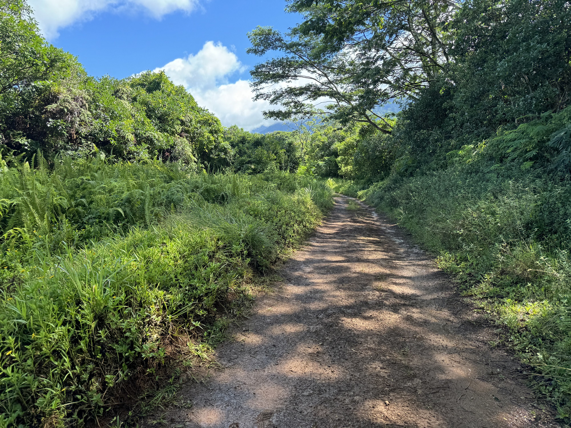
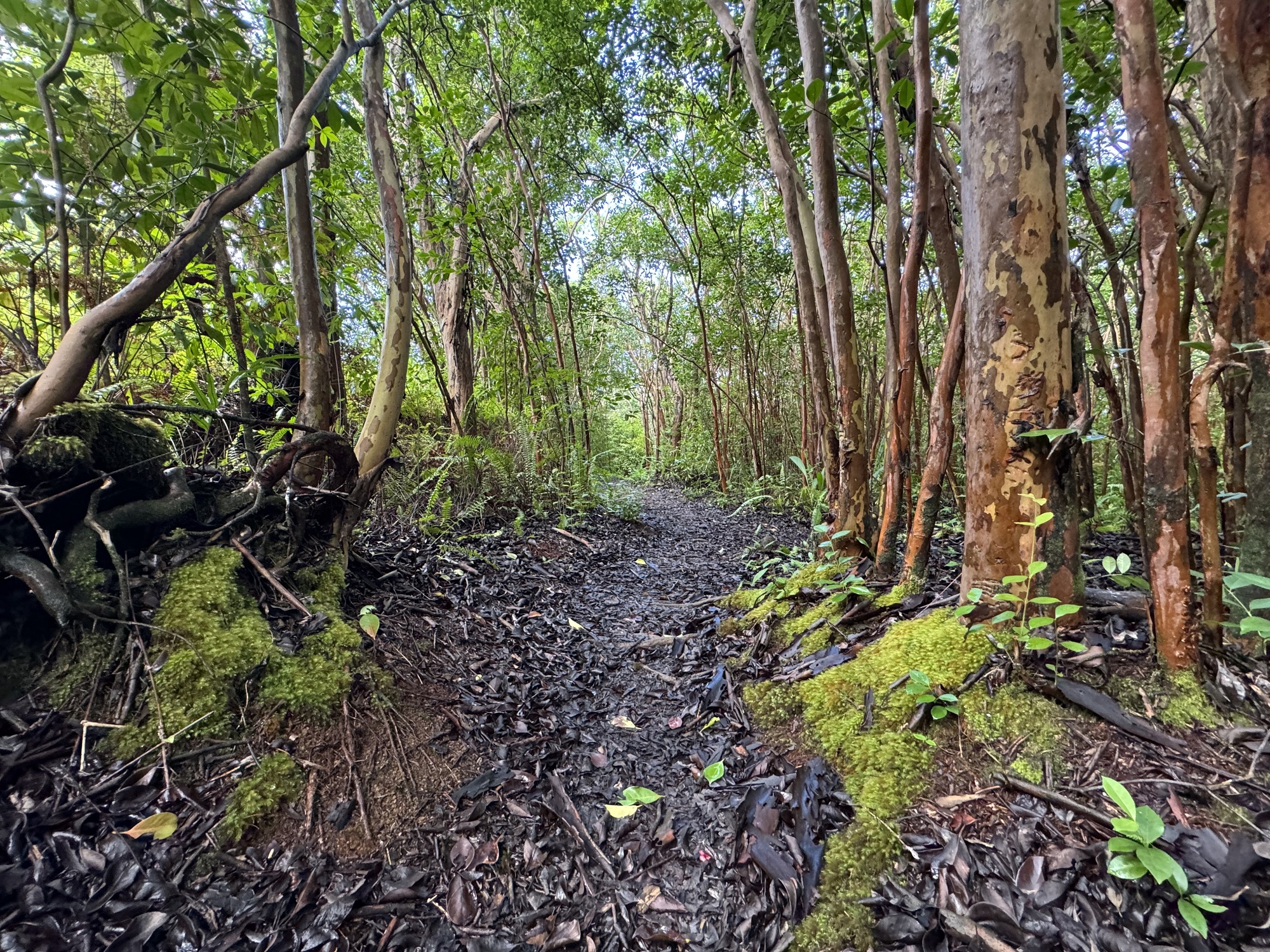
Named for the high-voltage power lines that run parallel to parts of the trail, the Powerline Trail stretches for roughly 11 miles across the island’s interior, from Princeville in the north to a point near the Keahua Arboretum in the east. While the trail is accessible from the two points, the northern access at the Princeville trailhead is the most popular due to its accessibility and scenic opportunities. This section is particularly well-known for its dramatic landscapes and panoramic vistas. Although the trail is often wet and muddy, the first two-to-three miles from the Princeville trailhead is relatively wide and flat.
The trail was actually a dirt road in years past, and while you can drive partway into the trail with a four-wheel-drive vehicle or ATV, the trail is best experienced by tourists on foot or mountain bike. (Driving a vehicle on this trail is problematic – leave that to the few locals willing to risk their vehicles to brush scratches and getting bogged down in the mud.)
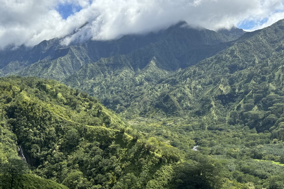
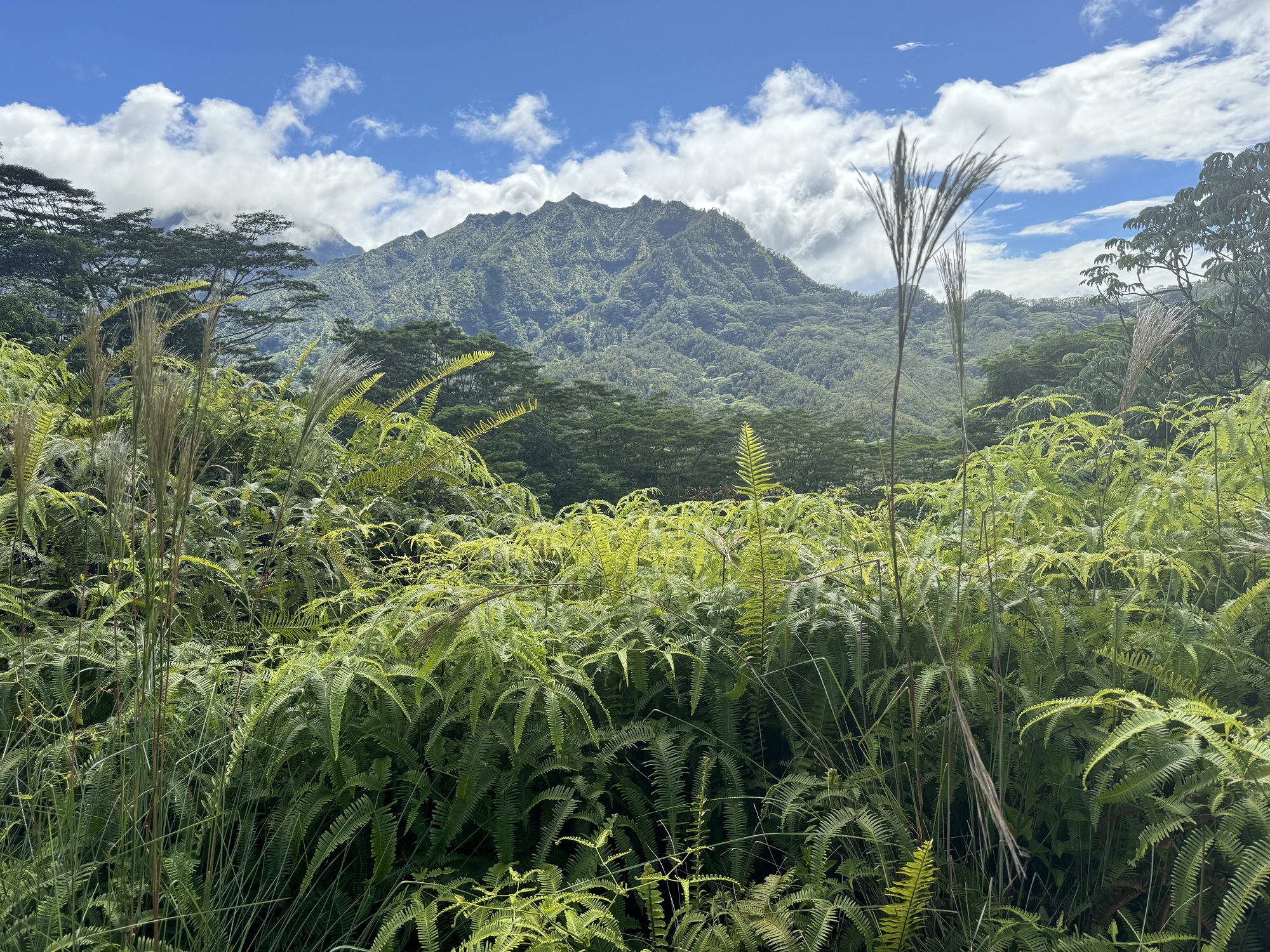
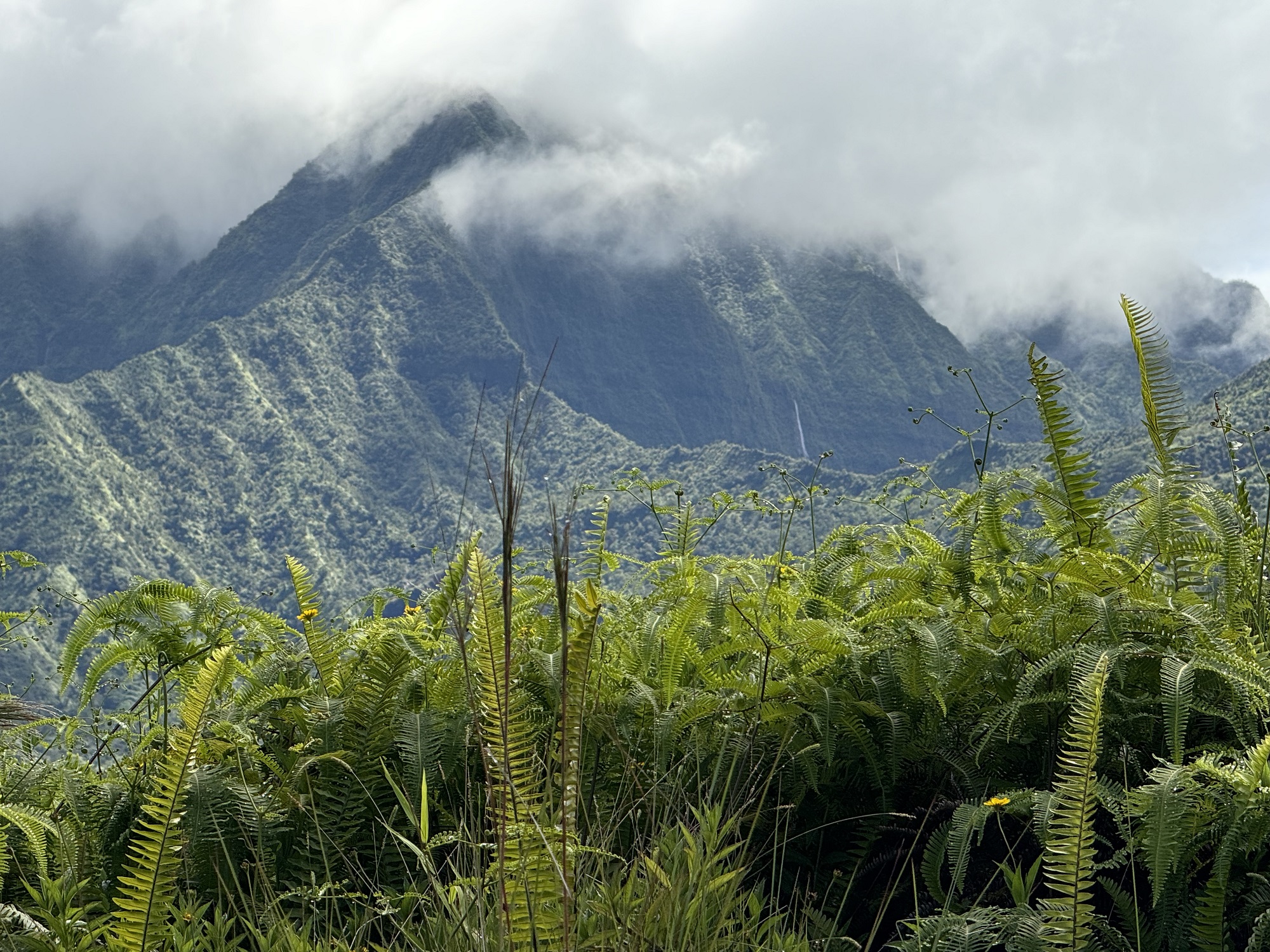
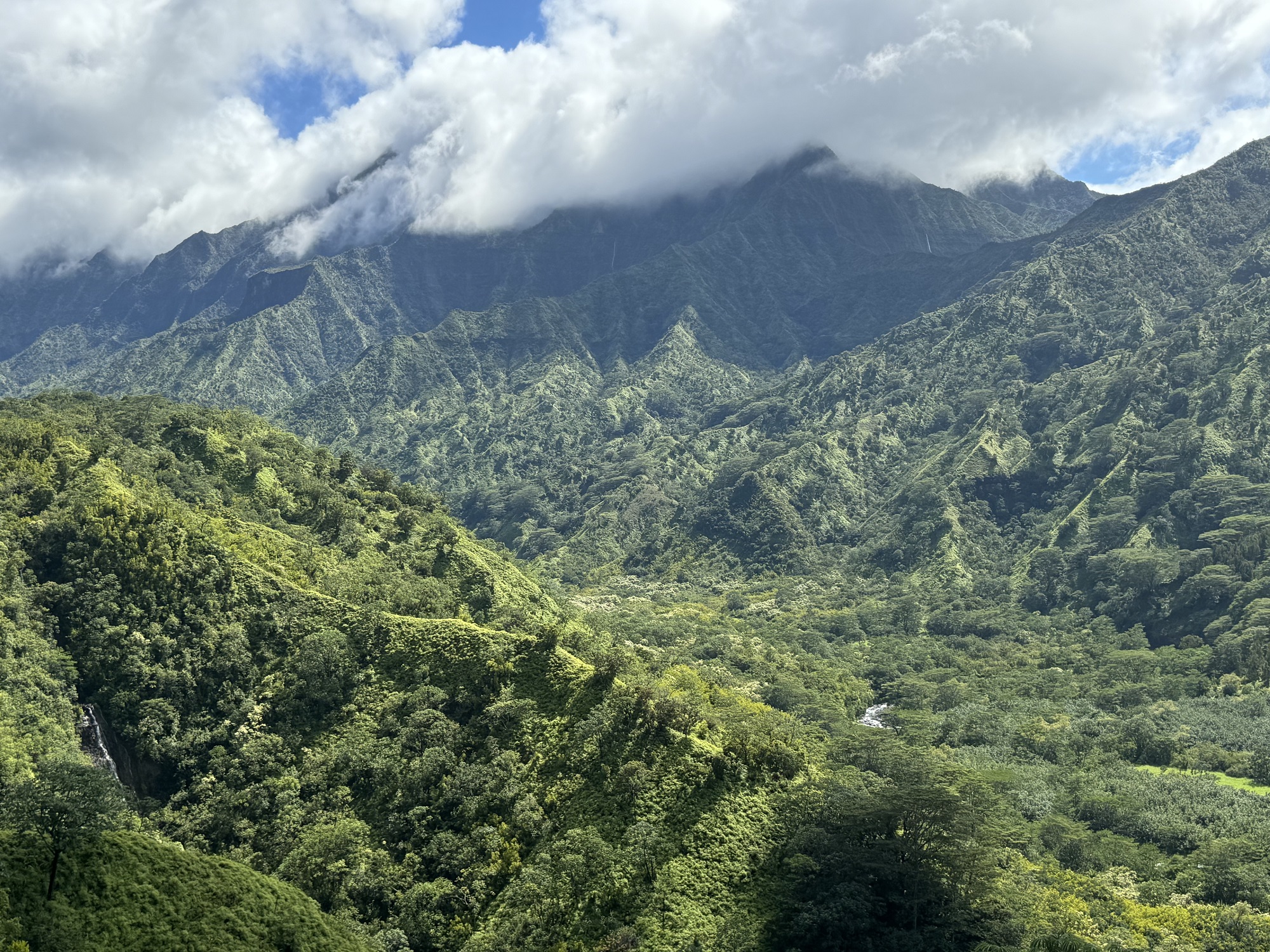
Hikers on the Powerline Trail (North) are greeted by walls of lush vegetation with glimpses of what is to come. Soon, about a half-mile into the trail, the vegetation opens up to reveal stunning mountain ranges and hidden valleys. There is a jaw-dropping reveal of the upper Hanalei River Valley to your right about a mile into the hike. Continuing on the trail leads to a mix of vegetation interspersed with epic mountain views.
Many hikers will turn around after about two-to-three miles, content with the grand vistas already experienced. A few select hikers (and mountain bikers) will attempt the full eleven miles to the south trailhead at Loop Road, though some start at the east trailhead to finish at the Princeville entrance. In recent years, the trail had become overgrown, and almost indistinguishable in parts, and was not recommended except for the most skilled hikers with navigation skills or aids. However, recently, the trail was cleared and is much more manageable, though the vegetation will creep back. Go as far as you feel comfortable, and don’t risk getting lost in the vast wilderness of Kauai’s interior.
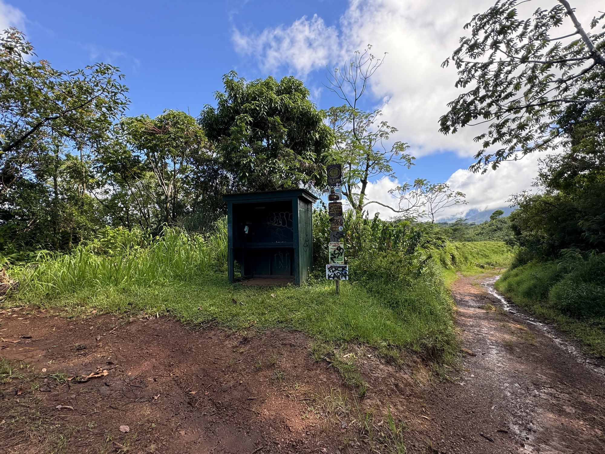
There are many side trails in the first two-miles from the north trailhead. Be sure you know your way back to the main trail to avoid getting lost, which is easy to do from our experiences. The trail and side trails are popular for mountain biking. Local mountain bike enthusiasts have done much work to create trails suitable for mountain biking in the area, especially near the parking for the trailhead.
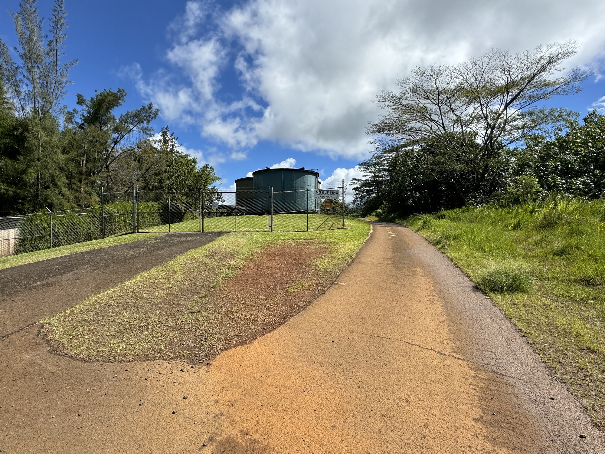
The trailhead can be found in Princeville, at the end of Kapaka Street. Park in the grass on the side of the road near the water tanks. The trail starts to the right of the tanks.

